AS29 - Advanced Sharpie 29'

Lollygag is a, professionally designed, home-built sailboat (with modifications.) She is a Catboat Yawl with a Gaff Rigged Main and Marconi Mizzen.

Saturday, October 8, 2011

Metropolis, IL; October 8 2011


Anchored below Lock 52 tonight -
Cumberland River tomorrow

First dam upstream on the Ohio was built in 1929.
The water was high so the dam was down and we could go right by.

The new dam is under construction and will replace the two dams
closest to the foot of the river.

These guys were fishing on the top of the dam that didn't fold down.

Ready for a flood or a nice lawn ornament...

Friday, October 7, 2011

Going up the Ohio River; October 7, 2011


Turned off the Mississippi at the foot of the Ohio river and started upstream.

The first 9 miles there were lots of tow boats working in all directions

Many barges were tied to the shore and moored in the river.

News flash: its slower going up stream

Thursday, October 6, 2011

Near Cairo, IL;October 6, 2011


 42 miles today from the Diversion Channel through the Dogtooth Bend

"Pleasure craft entering Mississippi mile 48.8 downbound out"

2x5 downstream passing 4x7 upstream
Lollygag safely out of the channel

Wing dams jut out from the shore to redirect the water back to
the center of the river

Passed by a tow!

Narrow twists and turns in the Dogtooth Bend area

We tucked behind a wing dam off the river for the night

Future loopers

Hobo's with a boat?

Wildlife?

Hot temps today, but time to head south

Wednesday, October 5, 2011

Cape Giradeau,MO: October 5, 2011

Link to anchorage in the Little Diversion Channel via Google Maps

Turn off to the anchorage.
It was a wild ride crossing the current and trying to power upstream.

Mist on the water as we left this morning.
Look close for two barges: one up-bound, one down-bound

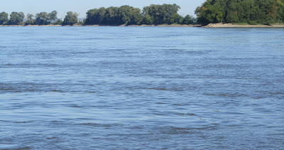
Scenery and barges for 69.2 miles today-
a mileage record for us.

Crazy encounters with whirlpools, back eddies and unusual turbulence 


Tower rock limestone formation 


Kimmswck, MO to Kaskaskia, IL;October 4, 2011


Kaskaskia Lock is just off the Mississippi
PC's (pleasure crafts) may tie off overnight between the two pillars

An excellent stop - no current or traffic 

Going down the Lower Mississippi 

Sandy beaches and tall trees on the LDB (left descending bank)

Rugged wood on the LDB (left descending bank)

Monday, October 3, 2011

Mississippi River and St.Louis, MO; October 3, 2011


Click here to read about the "Gateway to the West"

Melvin Price Lock uses floating bollards that you have to
lasso with your own lines....hee-haw

Wood River is where Lewis and Clark began their
expedition in 1803 - Missouri River is around the corner

Turn right here and go to Yankton, South Dakota!
Missouri River joins the Mississippi.

The water was confused with swirling currents,
but added 4 mph to our speed.

Avoid10 treacherous miles and take the canal!

The Chain of Rocks Lock have twin parallel locking chambers.
It is the last lock on the Mississippi.

Approaching St. Louis

Hoppies is a welcoming place to stop since it is the last place
to purchase gas for the next 250 miles.